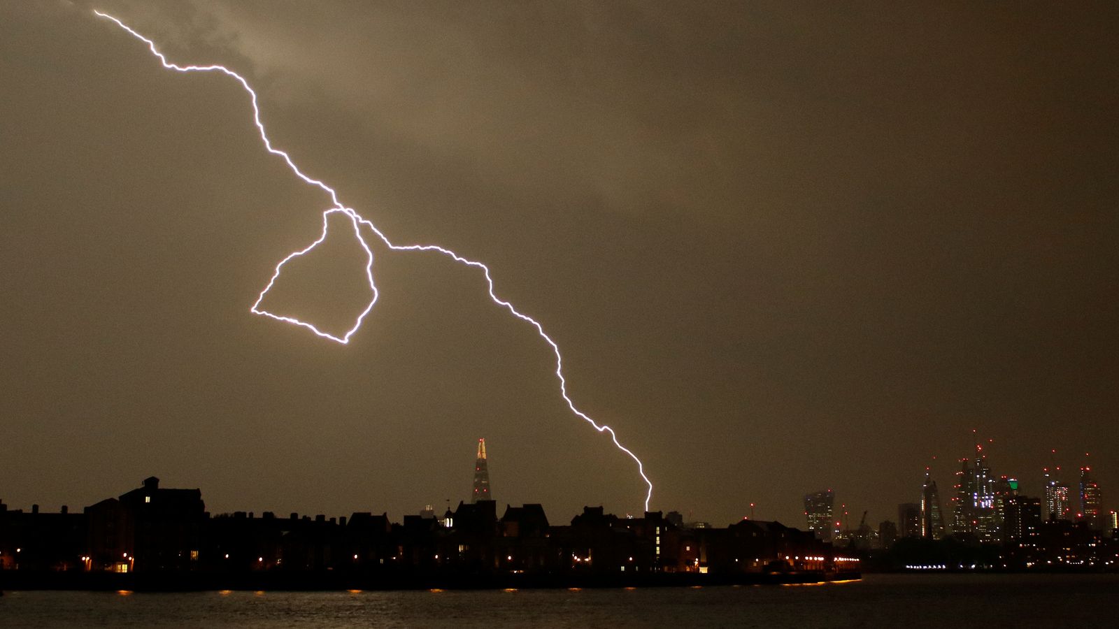
Storms and torrential downpours could bring flooding across parts of southern England and Wales, forecasters have warned.
Up to 80mm (3ins) of rain could fall in just a few hours with the Met Office issuing a yellow warning for storms which is in place until 11pm on Monday.
It covers areas including Cardiff, Gloucestershire, Hampshire, Oxfordshire and London – although forecasters said some areas included in the warning might not see any rain at all.
Flooding has already hit the Isle of Wight, with the Met Office reporting up to 120mm (4.7ins) of rain had been recorded near the town of Ventnor.
South Western Railway urged customers to allow extra time for their journeys, while Hampshire and Isle of Wight Fire and Rescue Service advised those affected by flooding to move their valuables upstairs and do what they can to keep their electronics away from water.
Sky weather presenter Kirsty McCabe said: “There is the potential for further heavy showers this evening, mainly across southeast Wales, the West Country, the Midlands and central southern England.
“A combination of light winds and sea breeze convergence could result in some slow-moving, heavy and possibly thundery downpours that could last for an hour or two.
“A few places could see 50mm (2ins) of rain or more, with a small chance that as much as 80mm of rain could fall in a couple of hours. As well as torrential downpours, lightning and hail are additional hazards.”
As the week progresses, conditions are expected to remain cool with a mix of sunny spells and showers.
While the spells of rain on Tuesday are less likely to be disruptive, the risk of heavy downpours and thundery conditions returns on Wednesday.
Forecasters said the unsettled conditions could stretch into Thursday and Friday.
There is now a warning in force for the thundery downpours today ⚠️
Further warnings possible for wet #weather due to the low pressure towards the end of the week 🌧️ https://t.co/vsFQFMMlbI
Despite some reports of the return of hot weather, the Met Office said there is still no sign of another heatwave on the way.
It comes as provisional Met Office figures revealed the heatwave last month resulted in the UK’s joint fifth warmest July on record.
The mean temperature for July 2021 in the UK was 16.6C (61.8F), which put it level with the July figure in 1995.
This is still some way short of the record figure of 17.8C (64F) in 2006.


