It looks like those hoping for a white Christmas are going to be bitterly disappointed this year – with forecasts showing that it’s more likely to be foggy and frosty.
The Met Office has released its updated long-range weather forecasts, which provide the predictions for conditions on Christmas Day and New Year’s Eve.
From Friday 17 December, it is expected to be “mild and cloudy” but mainly dry with light winds.
Latest weather forecasts for the UK
In the south, high pressure is expected to build further north, pushing the wind and rain away from all areas “apart from the extreme northwest”.
Across this area, any rain that does hit will be light – making for a much drier second half of December than what the UK has experienced in the last few weeks.
The days nearing Christmas are due to be cloudy, but there will be fewer clouds in the South and South East.
GCHQ sends out brainteaser Christmas card – can you solve the festive puzzles?
LadBaby teams up with Ed Sheeran and Sir Elton John in bid to secure fourth Christmas number one in a row
Christmas: Almost 18 million motorists to hit UK roads over festive period
Temperatures will then start to fall and tend to become colder in time for the big day, especially in southern areas.
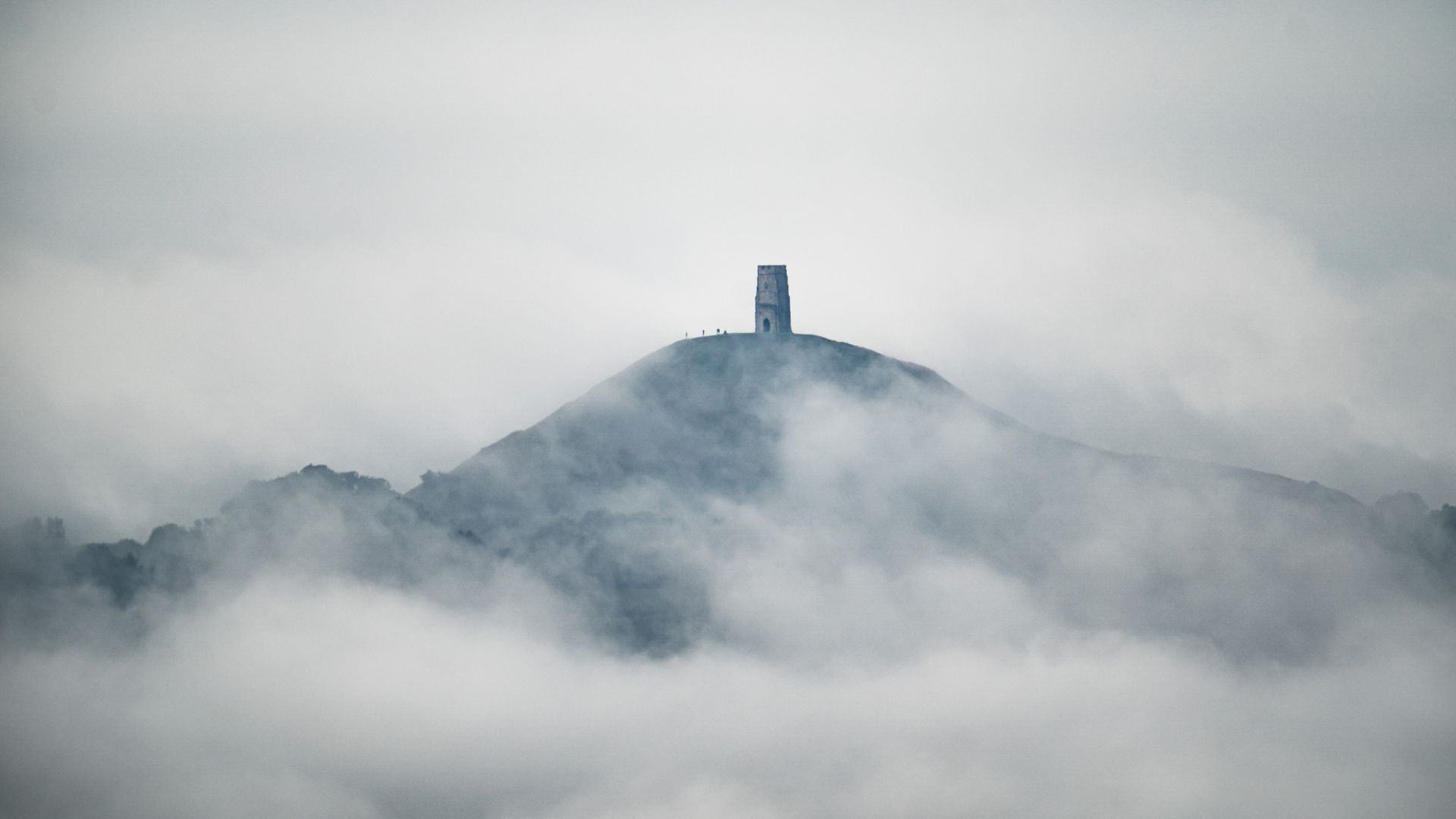
On Christmas Day, it’s likely a foggy and frosty start will be seen across the country. The fog will then start to slowly clear but may last all day in some places.
Sky News’ meteorologist Christopher England said: “It’s far too early to give any detailed forecast, but it looks like being mostly dry and settled from Christmas through to New Year, with a risk of overnight fog and frost.
“It should be quite mild by day, with some sunshine, although any fog will be slow to clear, lingering all day in places.
“The far northwest looks more unsettled, with a risk of showers or longer spells of rain. There doesn’t seem to be much chance of a white Christmas.”
Please use Chrome browser for a more accessible video player
So, definitely no white Christmas?
While hopes appear slim at this early stage, the Met Office says it can accurately forecast if snow is likely on any given Christmas Day up to five days beforehand.
The definition that the Met Office uses to classify a white Christmas is for one snowflake to be observed falling in the 24 hours of 25 December somewhere in the UK.
The last widespread one in the UK was in 2010, which saw 83% of weather stations recording snow on the ground – the highest number ever recorded.
However, technically 2020 was the last white Christmas, with 6% of weather stations recording snowflakes falling but only 4% of stations reported any snow lying on the ground
A cold, foggy and frosty New Year’s Eve
For the final week of the year, the weather is predicted to remain settled, but there is an increased risk of frost and fog.
Any unsettled spells are most likely for the North West, which may see some strong winds, showers, or longer spells of rain.
In the north, temperatures are expected to be mild, with colder weather due in the south at times.
Into January, there is expected to be a gradual shift towards more changeable conditions, especially in the North West – where temperatures will get colder.


