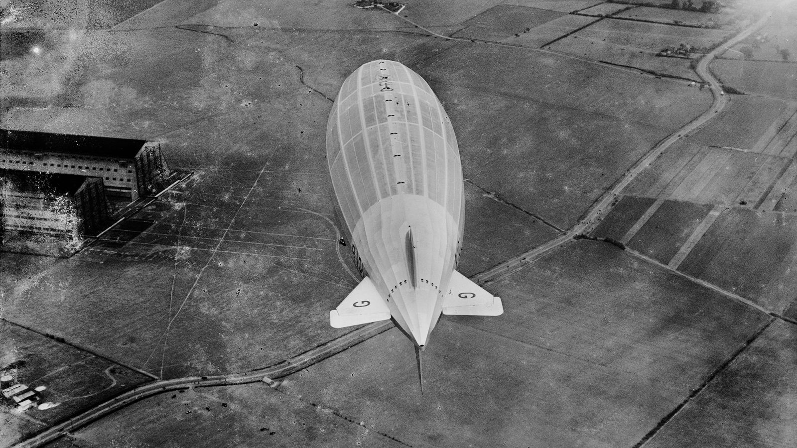
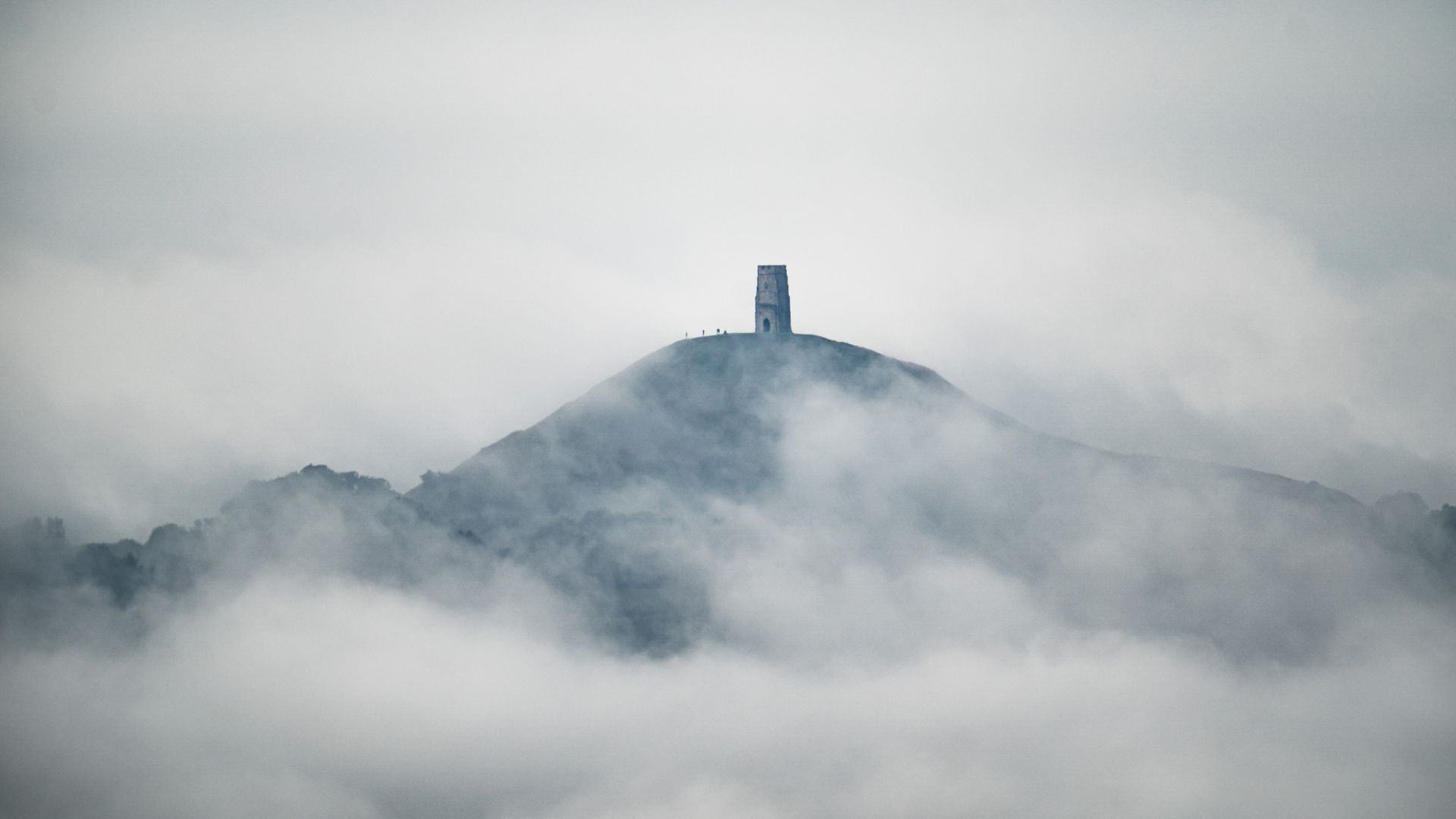
Photographs have been released to the public showing thousands of historic sites in England, from Second World War defences and nuclear power stations to the remains of Neolithic monuments, Roman farmsteads and medieval villages.
Historic England has made over 400,000 aerial photographs available to view online for the first time as it launched its Aerial Photograph Explorer tool.
Users can search and explore a map showing aerial photographs taken in England over the last 100 years.
Below is a selection of some of the images that can be found using the tool.


