Temperatures are set to nosedive as a cold snap brings freezing air together with ice, sleet and snow flurries, forecasters say.
“Changeable winter weather” is expected as the mercury plunges into single figures on Friday after a mild Thursday.
The Met Office has issued yellow warnings for ice across parts of Scotland from midnight until 11am on Friday and across Northern Ireland from 3am until 10am on Friday.
An active cold front will bring a “narrow but very intense” band of rain with “very lively” winds into Scotland and Northern Ireland on Thursday evening, as snow is predicted over mountain areas and higher ground in Wales.
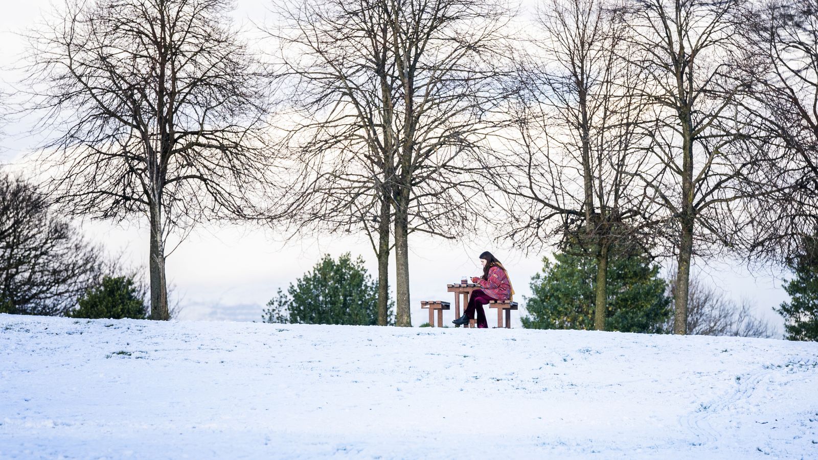
People living in central and southern areas including Dartmoor, Exmoor, the North and South Downs could wake up to a dusting of snow on Friday morning, Met Office forecaster Aidan McGivern said – although it is unlikely to cause disruption.
Why is it getting colder❓
🌡️ A cold front will sink south overnight and introduce much colder air
❄️ It won't just be lower temperatures we get – ice, sleet and some snow are also expected pic.twitter.com/3UgYa2AeKq
Explaining Friday’s outlook, Mr McGivern said: “We’re all in the showery north-westerly airflow and that means frequent wintry showers, sleet, hail, snow for northern parts of the UK, particularly over the hills and feeling cold in the wind.”
However the east and south will get some respite with sunny spells predicted and showers unlikely.
‘Bomb cyclone’ batters US East Coast with Nor’easter bringing mounds of snow and ‘life-threatening’ weather conditions
UK weather: Storm Malik forecast to deal ‘glancing blow’ this weekend as Met Office issues yellow warnings
UK weather: Rare ‘thundersnow’ phenomenon could cause travel disruption and power cuts – as Met Office issues snow and ice warnings
The “see-saw temperatures” are the result of a jet stream oscillating around the north of the UK during the next five days, said Mr McGivern.
The jet stream brings milder conditions when it sits to the north of the UK.
But if it dips further south, colder air travels across the country, resulting in tumbling temperatures.
Milder conditions will return at the weekend with Saturday set to be a breezy day across the nation.
The south will enjoy sunshine after a chilly start however the north could face yet more wet and windy weather.
But on Sunday Scotland, Northern Ireland and northern England are set to enjoy brighter skies while clouds will form across central and southern England and Wales.
Met Office chief meteorologist, Steve Ramsdale, said we have some “fairly typical winter weather in store”, adding: “It is not unusual for us to see snow in February, and there are no signals currently for anything out of the ordinary.”
The topsy-turvy weather is set to continue throughout the month, with milder spells interrupted by short blasts of icy weather.
Northern areas will bear the brunt of downpours and gales while in the south it will be milder and drier – but often cloudy conditions will dominate.


