Iceland has been forged by the heat of the Earth’s core.
The molten rock that now sits 800 metres below the fishing village of Grindavik is expected to reach the surface within days, the latest in a long history of eruptions.
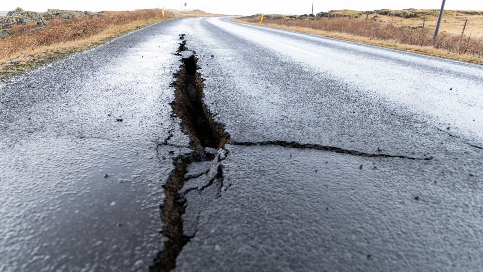
Around 4,000 inhabitants were evacuated in the early hours of Saturday after a swarm of earthquakes clustered in a small area. There had been more than 1,000 tremors in just a few hours, caused by the magma forcing its way upwards.
Scientists believe it has now pooled in a 10-mile tunnel in the rock, stretching from the island interior out to sea.
The Reykjanes volcanic system is barely 35 miles from the capital, Reykjavik. It had been dormant for 800 years until it erupted from a fissure in March 2021. The lava fountain became a tourist attraction over a six-month period.
There have been two more eruptions in the same area since then.
But the amount of molten rock just below the surface this time is thought to be far greater.
Iceland declares state of emergency over volcanic eruption threat
Iceland’s Prime Minister Katrín Jakobsdóttir joining women on strike over equal pay and gender-based violence
Volcano near Iceland’s capital erupts for the second time in a year
It’s possible the eruption will be just offshore, in which case the contact between super-heated rock and water would be explosive – with an ash cloud potentially being thrown several miles high.
That would be an echo of the Eyjafjallajokull eruption in 2010, which caused widespread disruption. Around 100,000 flights were grounded over several days because of fears that aircraft engines would be damaged by the ash cloud that swept towards Europe.
Iceland is one of the most volcanic regions on the planet.
It sits on the mid-Atlantic ridge, where the tectonic plates of North America and Eurasia are pulling apart by 2cm a year.
Over millions of years, a plume of molten rock poured from the rift, eventually breaching the ocean surface to form an island.
Read more on Sky News:
Iceland declares state of emergency over volcanic threat
Volcano near Iceland’s capital erupts for the second time in a year
On average there is an eruption from one of Iceland’s 32 active volcanoes every four or five years, with rivers of lava shaping the stark landscape.
Some of the eruptions have been catastrophic.
In 1783 around a quarter of the population was killed following an eruption of the Laki/Skaftareldar volcano.
The biggest current concern is over Katla, which last erupted in 1918. It lies under hundreds of metres of ice and any eruption is likely to cause widespread flooding.
