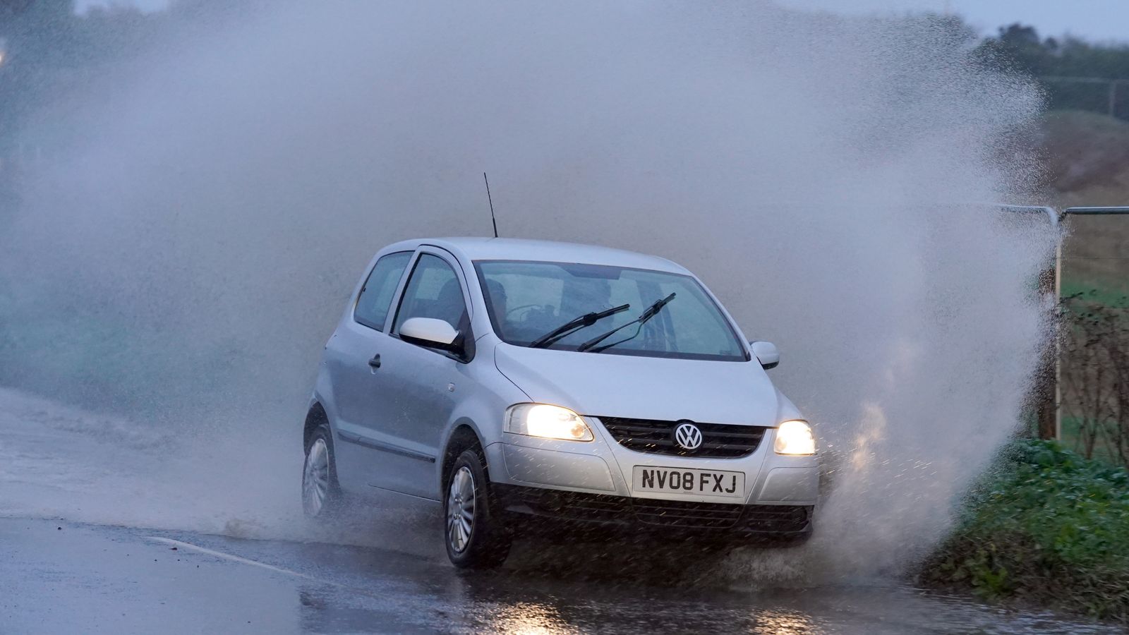
The UK is facing “atrocious” weather conditions with three yellow rain warnings issued for large parts of the nation from today through to Friday.
Heavy downpours in Cornwall and Devon on Wednesday afternoon are expected to travel northeastwards across England and Wales, before reaching Scotland’s east coast by Friday.
Up to 40mm of rain could fall in the South East on Wednesday, with the first yellow warning, in place from 5pm until 6am on Thursday, stretching east across the coastline from Southampton and the Isle of Wight in Hampshire to Kent.
Click here to check the weather forecast in your area
A second yellow warning has been issued for 24 hours from midnight on Thursday from Birmingham, Lincoln and Hull to north Wales, Liverpool and Manchester and northwards to the Scottish border.
The third warning is in place ahead of a two-day spell of “persistent” rainfall expected in the east coast of Scotland, from the English border to beyond Aberdeen, from 3pm on Thursday until 6pm on Friday.
Up to 70mm of rain could fall over high ground with up to 100mm possible across the hills of Angus and Aberdeenshire, the Met Office said.
UK weather yellow warnings issued as heavy rain expected in several parts of Britain
Warmest Remembrance Day ever on record and high temperatures are set to continue
UK weather: Heavy rain and cold weather could dampen bonfire weekend
Strong gusts of wind are set to batter coastlines while deluges bring an increased risk of flooding, causing challenging conditions for motorists and delays and cancellations on public transport networks.
And the “miserable” conditions could be exacerbated by temperatures returning to their average for November, making frost more likely.
Western Britain is likely to bear the brunt of the icy weather, but sub-zero temperatures forecast for Friday night mean frost is expected to be more widespread.
Met Office spokesperson Craig Snell said: “The warning areas are where we are most concerned about the risk of flooding – but it doesn’t mean that the areas outside them are not going to see some pretty atrocious conditions.”
People living in the south face a “miserable evening” on Wednesday, with Londoners set to have an “unpleasant commute home”.
The Midlands and north of England will battle “pretty miserable” conditions on Thursday after the rain sweeps in overnight, Mr Snell added.
“The rain will be accompanied by a brisk wind so it’s not going to feel good.”
Snow is also forecast in the Highlands, although this is not unusual for November, Mr Snell said, adding: “If you want to take a walk in the hills in Scotland tomorrow you may come across snow, but for the lower levels it is just going to be rain.”
Increased flood risk
Meanwhile, the Environment Agency (EA) has issued four flood warnings in England on Wednesday – urging people water levels are rising quickly and to “act now”.
More than half a month’s rain, 47mm, has been recorded in the past 36 hours in the village of Iping near Chichester, West Sussex, where up to a further 30mm of rain is expected between Wednesday afternoon and the early hours of Thursday.
A further 72 flood alerts have been issued across the country, across the south coast and in central and northern regions.
The EA said local flooding is “probable” from rivers and surface water in southeast England on Wednesday and into Thursday and “possible” across London and the South East.
There are three flood warnings and eight alerts in Scotland.


