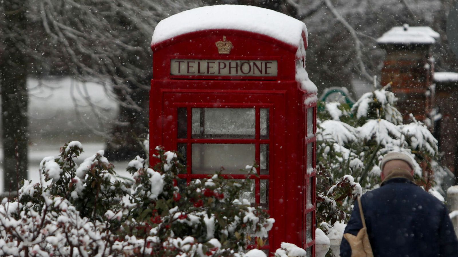
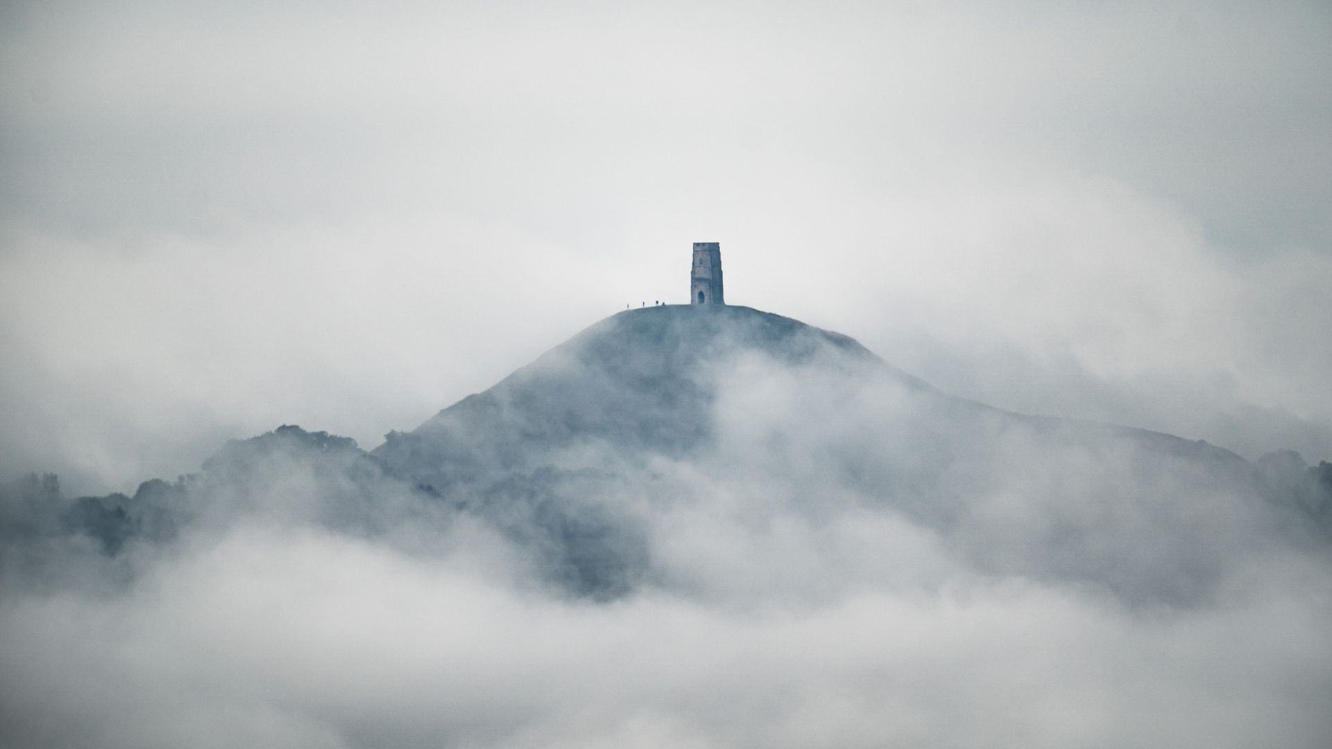
Winter appears to have arrived in parts of the UK with warnings of freezing temperatures and severe winds for much of the country this week.
The need for hats, scarves and gloves will come as a shock to many after a very mild first half of November.
On Monday night temperatures dropped to -3C or -4C in rural areas of England but this is just the start of a very unsettled period for the UK.
It's a settled start to the week, thanks to high pressure
However, low pressure systems will move down from the northwest bringing bouts of increasingly #cold air later in the week 📉
Very #windy weather may develop by Friday, with potentially damaging #winds in places pic.twitter.com/QyG1PpbHf1
Snow is forecast to arrive in areas above 600m in Scotland on Wednesday but this cold weather will spread to lower levels on Thursday morning as more icy air blows in from the Arctic.
The Met Office has said the weather will continue to turn colder and more unsettled by Friday.
There are yellow warnings in place for strong winds for Scotland on Friday and for the rest of the UK on Saturday, with potential for severe gales in the west.
Sky’s weather presenter Joanna Robinson said: “There is still some uncertainty on exactly where the strongest winds will be, but gusts could reach 50-60mph quite widely, with 70-80mph possible in some northern coastal areas.
UK weather: Cold wind from north sees temperatures slide into single figures
UK weather: ‘Plunge of cold Arctic air’ could sweep across nation next week
COP26: London Euston to Glasgow trains delayed or cancelled after fallen tree and severe weather cause travel chaos on first day of climate summit
“It will feel raw in the strong northerly winds.
“In terms of snow, it’s challenging to forecast even just a few days ahead, with often marginal conditions across the UK.
“Friday and Saturday look much more unsettled, with a mix of rain, sleet and snow. Where snow does fall, it is likely to be transient and confined to higher ground.”
Please use Chrome browser for a more accessible video player
Temperatures look like they will hover around 4-6C on Saturday but the winds will make it feel much colder.
Many people will be waking up to frost on Sunday and Monday next week when daytime temperatures look to be around 6-7C.
Meanwhile, the Met Office has also said the UK is facing a higher chance of a wetter winter over the next few months, as households are urged to be prepared for the risk of flooding.
A Met Office outlook shows there is an above-average chance of the winter being wetter than normal over the three months from November to January, with the wetter conditions most likely in January next year and beyond.
The call comes at the start of Flood Action Week, as the agency disclosed findings from a survey which suggested three-fifths (61%) of households in flood-risk areas did not believe their property could be affected.
While 70% of households in at-risk areas had taken some steps to prepare for their home flooding, 30% had done nothing – which if replicated across England could mean as many as 1.5 million homes at risk of flooding are unprepared.


