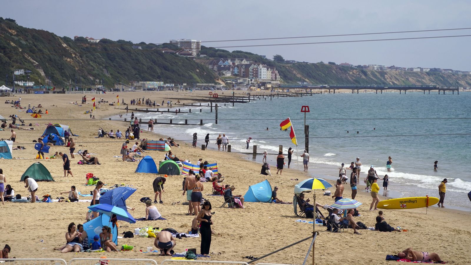
Another heatwave is brewing for parts of the UK as temperatures begin to rise in the coming days, the Met Office has said.
Temperatures in some areas could reach low or mid-30s Celsius (at least 86 Fahrenheit) by the end of next week, as an area of high pressure building from the Atlantic reaches the south and south west of England.
While many areas of the UK, and especially in the south, will experience temperatures several degrees higher than average, Met Office chief forecaster Steve Willington said the hot spell is likely to be “well below the record-breaking temperatures we saw in mid-July,” when thermometers climbed above 40C in some places.
From Saturday the weather is due to become “increasingly warm” across the south, and by Wednesday the mercury could hit 29C (84F) in London and mid-20s for much of southern England and parts of Wales.
To be classified a heatwave, temperatures must hit 28C in London and 25C for much of the rest of the country, for three consecutive days.
There is little relief on the horizon for parched areas in the south of England, which is preparing for drought after extremely dry conditions, with hardly any rain forecast. But some wet weather is expected in the north west of England.
Britain’s average temperatures are set to continue to rise in the future amid global heating, but how rainfall on the island nation will respond is harder to predict.
Record high coral on parts of Australia’s Great Barrier Reef, though ecosystem remains vulnerable to heating
Queen tells bishops climate breakdown threatens the lives of the poor
Greater Manchester residents to access funding to cut bills in ‘pioneering’ project for UK
Scientists say the country could become wetter in the winter, but rain would be concentrated in fewer days, and the south and east could continue to dry out. But those projections are uncertain.
While drought is not likely to hit more often in the next few decades, it is expected to become more frequent in the second half of this century.
Water demand often climbs when temperatures rise, as consumers water gardens and fill paddling pools.
Please use Chrome browser for a more accessible video player
The Met Office said the weather conditions bringing next week’s hot spell are different to those which inflicted up to 40.3C record heat last month. July’s unprecedented heat fuelled intense wildfires, buckled train tracks, melted roads and saw children sent home from school.
Heat intensified in July as already hot air travelling from southern Europe added to “our own home-grown heat,” in the UK, said Rebekah Sherwin, deputy chief meteorologist at the Met Office.
“This time, that is much less likely; instead, temperatures will build steadily within the lingering area of high pressure,” she explained.
August temperatures also tend to be lower than those in July because the sun is lower and daylight hours slightly shorter.
Watch the Daily Climate Show at 3.30pm Monday to Friday, and The Climate Show with Tom Heap on Saturday and Sunday at 3.30pm and 7.30pm.
All on Sky News, on the Sky News website and app, on YouTube and Twitter.
The show investigates how global warming is changing our landscape and highlights solutions to the crisis.


