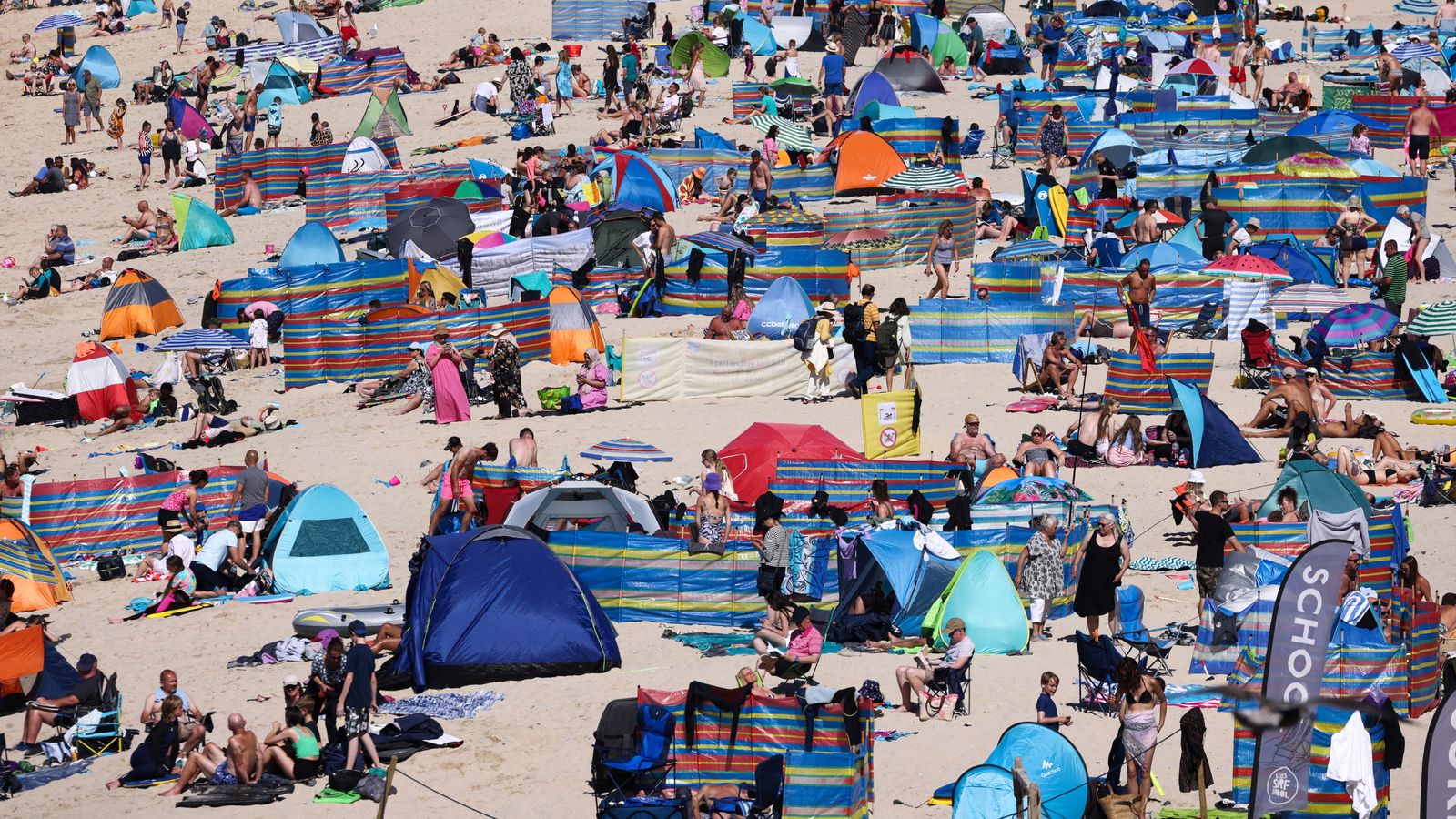
Forecasters have given their verdict on whether the UK is set for a hot spell – revealing there’s no sign that prolonged sunshine is on the way.
Much of the UK will see more cooler weather in the coming days, with forecasters expecting “calmer conditions” on Tuesday ahead of a damp and blustery day on Wednesday.
Sky News weather producer Chris England said: “It’s looking to stay rather cool and unsettled, with a particularly wet and windy spell on Wednesday, which may trigger some Met Office yellow wind and rain warnings.
“There’ll be some drier days of course, but there’s no real indication of any prolonged dry and sunny spells.”
The Met Office said southern coastal areas could see gales on Wednesday as the jet stream – the fast-flowing ribbon of air high in the atmosphere – drives more low pressure towards the UK.
More persistent rain will combine with the windy conditions on Wednesday, while sunshine and showers are expected on Thursday and Friday.
Uncertainty about the position of the jet stream later this week means it is still not clear which areas can expect less windy and unsettled weather.
The cooler UK conditions comes as much of southern Europe has endured a heatwave which will still see temperatures reach 36C (96.8F) in Spain and Greece this week.
Mr England added: “As for the Mediterranean, it’s mostly hot and dry, but most places have temperatures around the average for the time of year.”
July is set to become the hottest month on record, with the extreme heat also hitting parts of the US, Canada, France and Italy.
Temperatures in China soared to as high as 52.2C (125.96F), breaking the national record.
Read more on Sky News:
Find out the latest forecast for your area
‘Deadly extreme heat rapidly on the rise’
Heatwave in pictures as wildfires grip Europe
Please use Chrome browser for a more accessible video player
Michael Mann, a climate scientist at the University of Pennsylvania, said it was clear by mid-July it was going to be a record warm month, and provided an “indicator of a planet that will continue to warm as long as we burn fossil fuels”.
The ocean is also recording unusually high temperatures as climate change accelerates.
Marine heatwaves have unfolded along coastlines from Florida to Australia, raising concerns about coral reef.
Even one of the coldest places on Earth – Antarctica – is feeling the heat.
Please use Chrome browser for a more accessible video player
Sea ice is currently at a record low in the southern hemisphere’s winter – the time when ice should be reaching its maximum.
While the impact of the weather phenomenon El Nino is expected to begin peaking later this year and into 2024, it “has already started to help boost the temperatures”, experts say.
Scientists expect 2023 or 2024 will end up as the hottest year in the record books, surpassing 2016.


